The 48 contiguous states and the District of Columbia occupy a combined area of 3,119,885 square miles (8,080,470 km2). Of this area, 2,959,064 square miles (7,663,940 km2) is contiguous land, composing 83.65% of total U.S. land area.[175][176] Hawaii, occupying an archipelago in the central Pacific, southwest of North America, is 10,931 square miles (28,311 km2) in area. The five populated but unincorporated territories of Puerto Rico, American Samoa, Guam, Northern Mariana Islands, and U.S. Virgin Islands together cover 9,185 square miles (23,789 km2).[177] Measured by only land area, the United States is third in size behind Russia and China, just ahead of Canada.[178]
The United States is the world’s third- or fourth-largest nation by total area (land and water), ranking behind Russia and Canada and nearly equal to China. The ranking varies depending on how two territories disputed by China and India are counted, and how the total size of the United States is measured.[c][179][180]
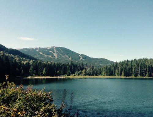
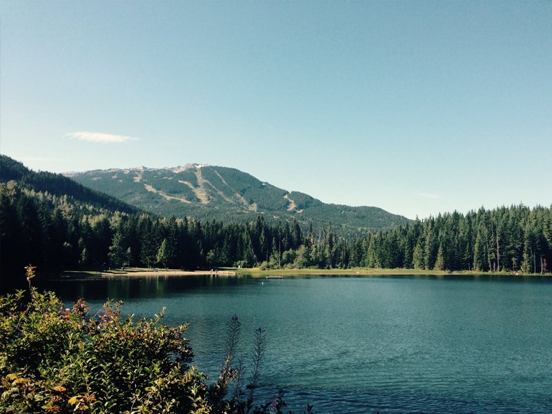
The coastal plain of the Atlantic seaboard gives way further inland to deciduous forests and the rolling hills of the Piedmont.[181] The Appalachian Mountains divide the eastern seaboard from the Great Lakes and the grasslands of the Midwest.[182] The Mississippi–Missouri River, the world’s fourth longest river system, runs mainly north–south through the heart of the country. The flat, fertile prairie of the Great Plains stretches to the west, interrupted by a highland region in the southeast.[182]
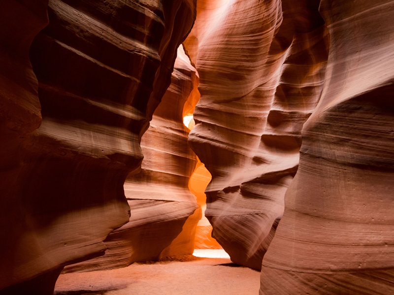
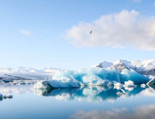
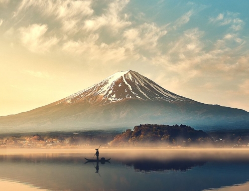
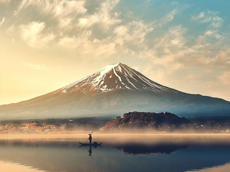
The Rocky Mountains, west of the Great Plains, extend north to south across the country, peaking around 14,000 feet (4,300 m) in Colorado.[183] Farther west are the rocky Great Basin and deserts such as the Chihuahua and Mojave.[184] The Sierra Nevada and Cascade mountain ranges run close to the Pacific coast, both ranges reaching altitudes higher than 14,000 feet (4,300 m). The lowest and highest points in the contiguous United States are in the state of California,[185] and only about 84 miles (135 km) apart.[186] At an elevation of 20,310 feet (6,190.5 m), Alaska’s Denali is the highest peak in the country and in North America.[187] Active volcanoes are common throughout Alaska’s Alexander and Aleutian Islands, and Hawaii consists of volcanic islands. The supervolcano underlying Yellowstone National Park in the Rockies is the continent’s largest volcanic feature.[188]
The United States, with its large size and geographic variety, includes most climate types. To the east of the 100th meridian, the climate ranges from humid continental in the north to humid subtropical in the south.[189] The Great Plains west of the 100th meridian are semi-arid. Much of the Western mountains have an alpine climate. The climate is arid in the Great Basin, desert in the Southwest, Mediterranean in coastal California, and oceanic in coastal Oregon and Washington and southern Alaska. Most of Alaska is subarctic or polar. Hawaii and the southern tip of Florida are tropical, as well as its territories in the Caribbean and the Pacific.
